Here are links to the rest of this series:
Some time ago a friend in Mallacoota commented that the outflow from the Broome St Lagoon was creating a mini-silt jetty. He then explained what a silt jetty is and that the biggest in the Southern Hemisphere was close to Bairnsdale. There is accommodation at the Eagle Point Cottages fairly near by.
So wanting to break a trip to Melbourne, and to explore the Gippsland Lakes we decided to grab a cottage and see what we could see. This also gave us a chance to play with Sheila, the satnav in the Mazda. This was a little fraught - massive understatement - but I think we now have it more or less under control.
Fuel prices were "interesting". Diesel at Mallacoota was $2.449/litre, United at Cann River $2.279 and United at Bairnsdale $2.159! As I couldn't remember nor work out how far it was from Cann to Bairnsdale I got a few litres there as back up: it turned out we could easily have made it.
We got Sheila working properly to get from Bairnsdale to the Jetties and drove out to the end. This image via eBird shows the structure. A few houses at the land end possibly have difficulty getting flood insurance!
Diversity of bird life wasn't great, mainly Cormorants of the three common species. However I did hear the call of a Forest Raven so that was Bird of the Day.
A view of the Mitchell River, which formed the Jetties.
Looking over Lake King towards Paynesville.
This shows the road: not bad for a track which mainly seems to be used by boatless fisherpersons.
The appearance of the water of Jones Bay over the spit shows how narrow the Northern Jetty is.
After getting back to the land end of the jetties we went for a walk around the Eagle Point Nature Reserve. Another map snap via eBird.
The ephemeral lake was well damp.
This view was intended to show the jetties. It would do so much better if the trees were chopped down (old greenie joke). In fact the trees in this reserve were very impressive (mainly I think Grey Box).
They seem to have an interest in bats in the area! Even painted bats to show them where to go.
An artistic representation of the shape of the jetties (sorry about the splatter on the sign!)
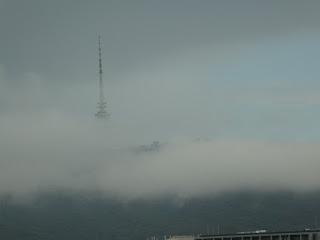
We then drove across the road to the Bluff Lookout. The view gives the idea of the Jetties but I don't think the scale comes across.
On to our cottage which has a formal address of Eagle Point but IMO is more like Paynesville. After settling in we went to have a look around Paynesville. Going back to the past, when touring NSW we would always take photographs of the War Memorials, which we used as a definition of a town. I shall start doing the same for Victoria. This is the new memorial in Paynesville, outside the RSL. (The statue doesn't look new!)
This is the old memorial with one of a set of notice boards in the background. Paynesville seems to have a lot of historic noticeboards around.
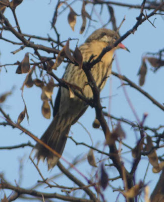
This nest was beside the footpath near the Raymond Island ferry terminal. The bird kept an eye on us but seemed undisturbed by us walking within a metre of the nest. It did keep a close eye on a Magpie eating a slice of bread nearby.
There were a mass of boats moored at what I assume is the main wharf. Some of them looked like serious ocean cruisers.


Comments
Post a Comment