The major National Park near Yarram is Tarra-Bulga in the Strzlecki Ranges. Polly, the phone version of Google Maps GPS system, initially sent us on an interesting route as she decides to avoid small country towns. In this case Yarram, a transit of which really is not going to add any time. However, she says "turn left" so I do. The road is rather narrow and well endowed with vegetation.
This was our first encounter with the Tarra River. It seemed rather trivial so I looked up recent rainfall for Yarram and there has only been 36mm so far this year. No wonder the ground has been cracked in a few spots.
At Tarra Falls a pretty caterpillar was exploring a fern trunk.
Here is the top of the fals
Lower down: the official steps only go about 1/4 of the way and I was discouraged from following an unofficial goat track.
We had a GPS "moment" when we got close to the Park Visitor Centre. There were 2 roads off to the right and I took the first. This turned out to be a logging road and there were a few moments of interest while we realised this was wrong. The map we have printed was very hard to read as Parks have put a green shade over everything - one reason we wanted to go to the VC was to get a better copy. Of course the VC was shut "because they can't get enough volunteers" the thought of employing a few folk would get no traction! We did see some Parks Rangers - an astonishing sighting - but they panicked at the sight of visitors and drove off while we visited the amenities: they probably went off to light a Habitat Reduction Burn or such like. Eventually we found this useful map on a board, and were then confident to head for the Suspension Bridge.
The Mountain Ash (
Eucalyptus regnans) forms a palisade above the tree ferns.
Other ferns growing on a
Dicksonia antarctica.
Epiphytes on the trunk of ???
The main trunk here is the tallest Ash in the Park (about 75m).
A later view of the same tree.
We met this young woman a few times, but only here was she flying her drone. If she dropped it into the gully I don't think she would ever retrieve it,
A view of the gully.
After crossing the bridge we came back on a track that was rated as moderate/hard. Nah: just uphill a little bit. The buttress root system of a Beech (
Nothofagus cunninghamii).
There not many mossy trees,
Some bracket fungi.
Some gilled fungi - they were very small, but the bright red colour made them stand out.
After getting back to the car we decided to return on the road we had ascended, This was primarily to do a walk to the Cyathea Falls (or as one Parks map suggested Cynthia Falls). En route to the Falls we passed this mixture of a tree with two Sassafras growing on a Beech.
Some views of the Falls. Again, not like Niagara.
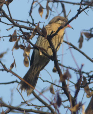
After getting back to the house I went off to explore the bird life around the harbour (and to check that the restaurant did take-away Fish and Chips). Both successful although
the birds were a fair distance away. I went back about 2 hours later (to get the fish and chips) and the mud flats were completely covered: the timing advice for Toora Bird Hide is equally applicable here!
As a footnote, the fish and chips were excellent!


Comments
Post a Comment