The Prom
One of our reasons for choosing this area was to visit Wilson's Promontory, mainland Australia's most Southerly spot. (It is also one of the windiest with a record just of 170 kph in August 1991.)
Before heading off there was a very pleasant sunrise. This was a great improvement in the weather as most days on this trip the early mornings have been 8/8ths cloud.

En route we got good views of a couple of the turbines from the Toora wind farm (we came along the highway this time) ...


It was 87 km to the Park entrance and a further 20 to the campground at Tidal River, and then - had we been bold enough to try - 24km to the tip (5 hours walking). The drive was satisfactory with only one bit of weirdness as the GPS took us round the farms (rather than the houses) to avoid Foster: I guess there might be a traffic jam there in Summer.
The gate to the National Park was curious: I presume it is there to block people without a camp reservation or the close the Park if it is too full in Summer. Just a mild annoyance for us - there was no-one on duty, even though all campsites (~500) were booked according to something I saw. We pulled over at the first lookout: very pleasant.
 This looks down on Squeaky Beach.
 Zooming in it looked as though there was an event in progress.
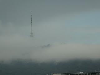
 Mount Oberon looms.
 After a foray around the Tidal River campground (including the very boring Visitor Centre) we headed off to the Lilly Pilly carpark where a very good map was installed.
 We decided to do an anticlockwise loop. I have no idea why they call the Nature Walk by that name. I can't remember any signs naming the trees etc along the the way. I found this sign amusing
 Obviously the official Parks Victoria dictionary has am unusual definition of the word "attract". Yes the indigenous folk used fire but it was to drive the animals out of the bush, not attract them in to the clearings (I am just imagining a bunch of roos and goannas around a camp fire, toasting marshmallows)!


The path was very smooth. It was described as suitable for prams: good luck pushing one back up!
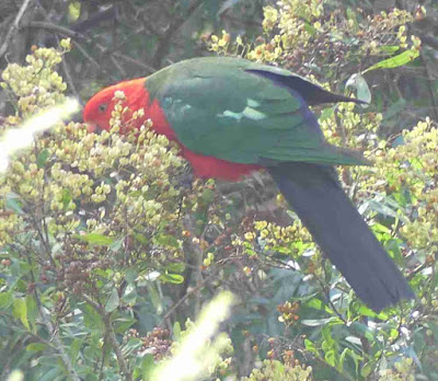
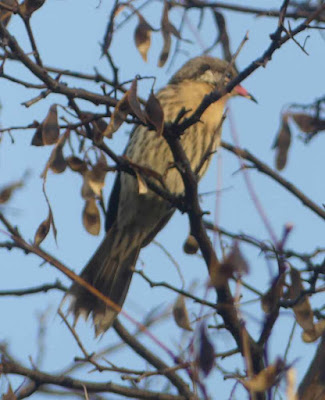
 There were quite a lot of squeaky birds in the bush but few revealed themselves. This King Parrot was an exception.
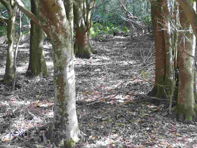
 The boardwalk through the Gully was OK. Very little information offered.
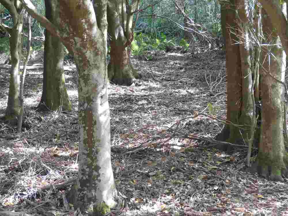
 I reckon this was ideal Bassian Thrush habitat. Unfortunately the thrushes did not agree.
 So we started up the loop back to the car park. This was rated 3 by Parks (moderate/hard). It was a bit of a grunt, rising about 120m, but really nothing above moderate at worst. Quite a lot of fungus around including these Ganoderma australe (Artists Conk).
 A small bridge over a gully.
 I am unsure which peak this is, but the rock is attractive.
 A close up of some granite, the basic rock of the Prom. Much quartz is visible.
 On the first, uphill part of this walk there was very little exposed granite. From the high point onwards it was very evident.
 This boulder is weathering well, with exfoliation and moss growing all over it.
 I continue to be amazed at how trees keep on growing after fire. All the heartwood had been burnt out of this one leaving parts of the outer wood (no more than 15cm thick to send all the water and nutrient into a 15m tall tree. The canopy looked like 'business as usual'!
 The junction with the track to Mt Bishop. 2.2 km all uphill gaining 140 m in elevation (according to Google Earth). We didn't need the extra distance, but the gradient is less that what we had already done - although of course Parks don't give out stuff like that.
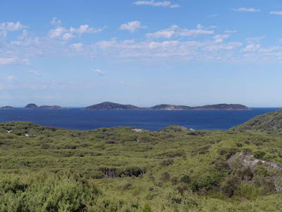
 Here are the peaks to the South, from my Peak Finder app.
 A view out to sea.
 A small but attractive waterfall.
 Banksias

 Finishing off the walk we went to Squeaky Beach to eat our lunch (Rivita and Peanut Butter). Apparently this is acceptable to Gulls if chips are not available.
 Some views of the beach and rocks.


 Having been there and done that we headed North with a plan to investigate Duck Point or Red Bluff and their geology. We missed the turnoff to Duck Point but took that to Red Bluff. This degenerated after about 1km so we parked. A local ute appeared so I asked the driver how to get to Red Bluff apparently there were 2 ways: one involved going down a cliff (100 rough formed steps) to some shacks and the other a walk through mangroves. My informant advised the former was preferable: if we took the latter "Your wife should go first. That way you have something to step on."


We went to the top of the cliff. There is a bluff, and it is red.
 On the way home we decided to look at Barry Beach where much wader banding happens. Unfortunately there is, as a sign said "No Beach Access" as the road ends at two container facilities.

Whatever, a good day
Comments
Post a Comment